
The SPOTTED project pilots solutions based on data captured by sensors and satellite images in Helsinki, Milan and Naples.
Objectives
The aim of the SPOTTED project is to promote the utilisation of satellite data to support city planning, particularly the management and design of green areas. In Helsinki, the objectives are primarily related to measuring and monitoring the sustainability of tourism and the Green Index, as well as developing green areas. The project expands on pilots carried out in prior projects while simultaneously promoting the utilisation of the geospatial data possessed by the City and other public sector operators.
Duration, partners and funding
- The project will run from 1 September 2021 to 31 August 2024.
- The project is funded by the European Commission’s Connecting Europe Facility (CEF) programme. The project has a total budget of EUR 1,863,298, of which Forum Virium Helsinki’s share is EUR 149,265.
- Forum Virium Helsinki’s partners in the project include the Lisbon Council (coordinator), Engineering, Latitudo 40, FIWARE Foundation, GisSky, and the Cities of Milan and Naples.
The role of Forum Virium Helsinki
Forum Virium Helsinki supports the implementation of the pilots in Helsinki. In the context of the project, co-creation workshops will be held for the City of Helsinki’s experts in order to define the key objectives and pilots in Helsinki. Forum Virium Helsinki’s role is to provide the project with geospatial data created by Helsinki, which will be used as the foundation for creating new data products based on data captured by sensors and satellite images, for example. Forum Virium Helsinki will also contribute to the consortium by sharing its understanding of the city information model’s requirements, so that the solutions to be developed will meet the City’s technical requirements and allow services and data products to be developed on the service platform created in the project.
Benefits for Helsinki
The solutions created in the project will support the City of Helsinki’s innovative work in the development of a digital twin and the opening of datasets with the help of interfaces. Forum Virium Helsinki and the City of Helsinki can make use of the project’s output in developing the City’s geospatial data services. In particular, the project will create methods to support the development of the City of Helsinki’s green areas and measures related to carbon neutrality goals.
Visit the project website: cef-spotted.eu
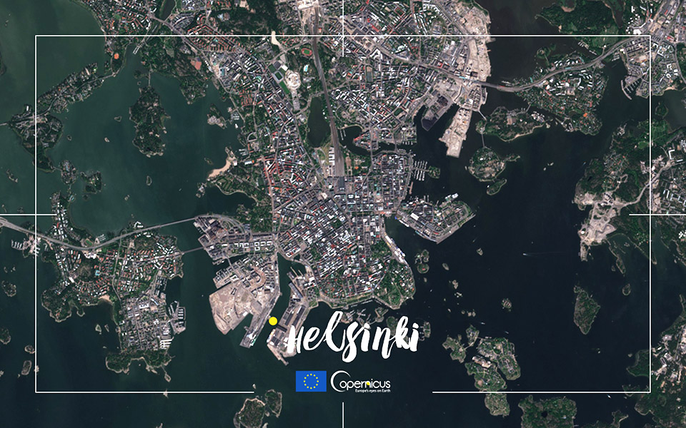
Photo by Copernicus
